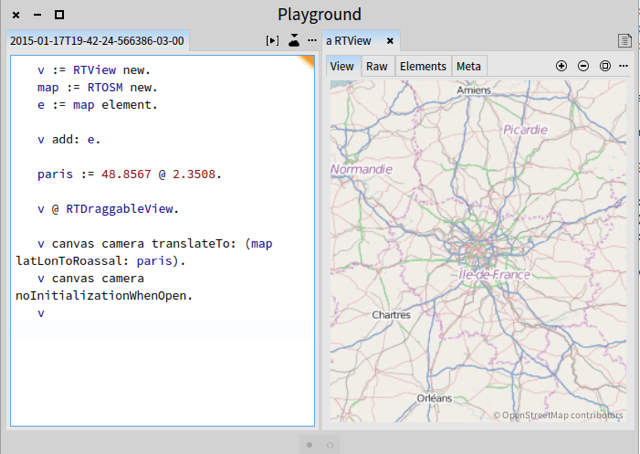
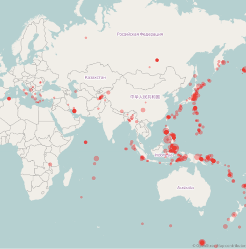
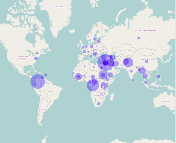
Dear All, This week end I have integrated the excellent work of Onil Goubier and Thierry Goubier. They have worked on a bridge between OpenStreetMap and Roassal. As a result, you can easily decorate a map with element describing metrics and properties of geolocation. Consider the following: I think the following screenshot should be self-explanatory: Below are some results of 10lines-long scripts. Seisms during the last 30 days: Refugies monitored by the United Nations High Commissioner for Refugees: We started to write a chapter for Agile Visualization. Here it is: https://dl.dropboxusercontent.com/u/31543901/AgileVisualization/OpenStreetMa... Again, thanks Onil and Thierry. This is a very valuable contribution for the whole community! Cheers, Alexandre NB: Sorry for the cross-post, but I believe the content of this email goes well beyond to the Moose people interest. -- _,.;:~^~:;._,.;:~^~:;._,.;:~^~:;._,.;:~^~:;._,.;: Alexandre Bergel http://www.bergel.eu ^~:;._,.;:~^~:;._,.;:~^~:;._,.;:~^~:;._,.;:~^~:;.